Fort Worth has been building out its bike plan for several years now, and it has definitely improved conditions on city streets for non-motorized transportation. There are far more designated bike lanes, especially in the central city, and the available bike parking has increased dramatically as well. As we’ve laid down the beginnings of a foundation for better biking in Fort Worth, it seems like a good time to look at how to start taking things to a higher level.
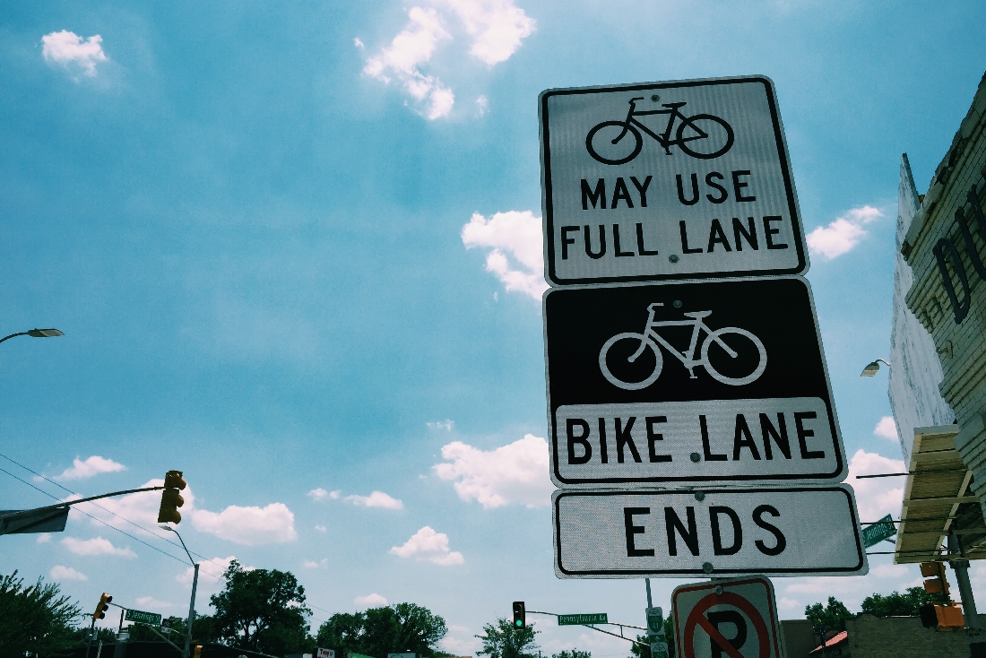
One thing in particular that stands out as a weakness of the Fort Worth bike plan is the inconsistency of the infrastructure that’s been created thus far. We’ve been getting more lanes in more places, but there are oddities that result in noticeable gaps in the system, often at important points.
We’ve got lanes on West 7th Street that lead to big, wide paths on the brand-new 7th Street bridge, which in turn unceremoniously deposit riders into 7th Street traffic on the downtown side of the river with only faded shared lane markings to keep them company, except for one random block of bike lanes near Henderson Street which aren’t connected to anything. We’ve got lanes along 10th and Texas Streets leading from the river into downtown, but where they meet the river, those lanes don’t have any sort of safe, signalized crossing at Forest Park Boulevard to connect to the Trinity Trails. The trails instead have a signalized crossing two blocks north at 5th Street, which has no bike lanes. Those same 10th and Texas lanes don’t have any sort of dedicated linkage to the lanes on Commerce Street that run into the Near Southside. Lanes along Vickery might link the Near Southside and the inner southeast side all the way to Texas Wesleyan, except where they disappear as the street passes under I-35, despite the fact that the street itself seems to have plenty of room for a seamless continuation.
These are but a few of the examples. It’s sometimes the case that these inconsistent dedicated lanes transition into “sharrows,” or shared lane markings, but while the sharrows often work to designate safe routes in slower, less-trafficked neighborhood streets, on more heavily traveled routes they don’t seem to be nearly as effective as dedicated lanes at attracting the sort of non-hardcore bike riders the city should be encouraging. It’s not coincidental that the part of the city with the most consistent network of on-street dedicated bike lanes (namely, the Near Southside) is also the part of the city where one tends to see the highest concentration of more casual/mainstream cyclists actually riding on the street where bikes belong.
My hunch is that there is perhaps a bit of an old world traffic engineer vs. new world urban planning conflict at city hall from time to time, which results in things like the nonsensical 7th Street downtown bike lane/sharrow design. It would be a positive to see all the various parts of the transportation and planning offices on the same page when it comes to the bike plan, so that we can take the progress we’ve already made and make it even more appealing and safer to get more people out on two wheels.


Yeah, what he said. But at least we’re not Dallas 😉