In the fall of 2009, Mistletoe Heights resident Susan Pressley was waiting at the intersection of Park Place Avenue and Forest Park Boulevard with her two children and a neighbor’s daughter. Pressley was walking the kids to Lily B. Clayton Elementary. As Pressley watched in horror, an SUV speeding down Forest Park slammed on its brakes, spun out, and jumped the curb where the four were standing.
Pressley saw her life and her children’s lives flash before her eyes.
“One of the girls was so close to the oncoming car that I ran and tackled her out of the way,” she said. “It was the scariest moment in my life.”
No one was hurt, but the incident changed Pressley. She started a Flickr page dedicated to documenting wrecks on Forest Park. She has more than a dozen pictures of cars that ended up in her neighbors’ yards. In some, the cars obliterated fences; in others, the high-speed collisions completely destroyed the vehicles.
Jason Brown, a resident of adjacent Berkeley Place, had a similar experience while walking his two sons to the playground at Tillery Park on the west side of Forest Park.

In 2011, tired of playing a real-life game of Frogger every time he tried to cross the road, Brown got the ball rolling on a project designed to slow down traffic on the street.
“We’ve almost gotten run over several times,” he said.
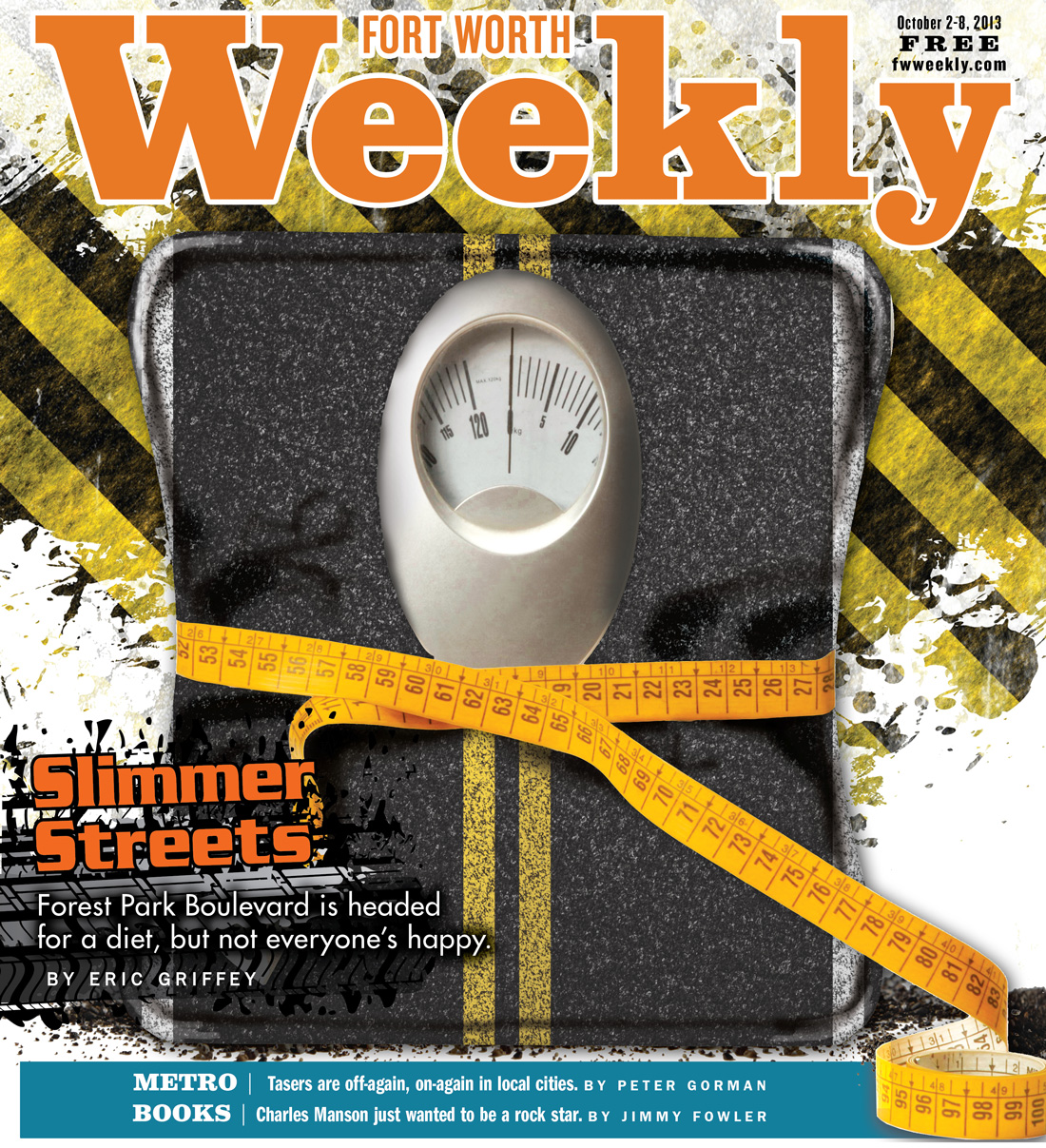
Brown and Pressley teamed up to successfully lobby the city to re-stripe the four-lane street between Park Hill Drive and Rosedale Street. The new-look boulevard will feature only one lane each way, with a turn lane in the middle and a bike lane on each side. Traffic engineers call that putting the road on a diet. The idea is to reduce motorists’ speed and thus make the street safer.
Not everyone is excited. A vocal group of opponents believes the reconfiguration will cause more accidents while sending frustrated motorists into the neighborhoods looking for shortcuts. Critics say that the planned changes may benefit bikers and pedestrians but would be a detriment to drivers.
In September 2012, local attorney and Mistletoe Heights resident Tim Evans wrote to his neighbors, urging them to oppose the measure, which he said “would cause both of these single lanes to become clogged and backed up with more, slower moving traffic, especially at peak times.”
The Park Hill and Bluebonnet Hill neighborhood associations have both denounced the proposed changes. Opponents also have a Facebook page, Stop Forest Park Road Diet.
The project, endorsed by city staff, was supposed to start six months ago but has been delayed by various factors. City council approval isn’t needed, but not everyone on the council is in favor of the idea, and opponents are still hoping to kill it.
Forest Park isn’t the only street in town being re-striped. Jennings Avenue, South Main Street, and West 7th Street have either been slimmed down or soon will be. Forest Park handles an average of 16,000 vehicles each day, which would make it the second-busiest street in the city to be slimmed down and the first that runs through a residential neighborhood.
From 2000 to 2010, Fort Worth was the fastest-growing big city in the country; in the next two decades it’s expected to go from about 780,000 population to more than a million. City engineers are looking for ways to move people around town more safely as they continue to emphasize walkable, livable “urban village” neighborhoods — and to do it all relatively cheaply.
For that reason, a lot of eyes are on Forest Park. If accidents are reduced without a major disruption of traffic flow, many other streets around town could be similarly transformed. The reconfiguration doesn’t increase the traffic load the street can handle, but at a cost of about $70,000 it’s a much cheaper safety measure than, say, another traffic light, with a price tag of more than $200,000.
The road diet process is a part of creating what urban planners call “complete streets,” designed to be safe and accessible for pedestrians, cyclists, motorists, and transit riders. In theory, complete streets are safer for non-motorists. In practice, they can slow down vehicle traffic.
Assistant City Manager Fernando Costa called the process of designing streets a “balancing act” between making them usable for cars and other types of transportation, while also making them public spaces that can tie together neighborhoods and commercial districts. He said the complete-streets model makes sense, though it may not be appropriate everywhere.
“The model is flexible,” he said. “It doesn’t constitute a fixed design. I would characterize it as a set of principles to accommodate the balancing act.”
The complete-street idea has been used successfully in progressive cities like Portland, Seattle, and Austin.
But as one opponent of the Forest Park project wrote in a letter to neighbors, “We submit that what might be OK for San Francisco is not necessarily good for us.”
Fort Worth lags behind many cities of its size in terms of public transportation, but Mayor Betsy Price said that is going to change. She said the city is looking seriously at several mass transit options for the near future.
Street reconfigurations are part of the move to make Fort Worth friendlier to mass transit.
“We’re not going to be able to pour enough concrete to accommodate everyone in cars,” Price told Fort Worth Weekly. “We have to look at different mobility options, whether it’s rails, bike lanes, safe pedestrian crossings — all of it.”
********


